Scrambling · North-west Wales
Eryri
Scrambling is the ground between walking and climbing, and Eryri is where a very large proportion of British people first meet it. The reason is geological rather than cultural: the volcanic rock here breaks into blocks and steps at exactly the scale a person can use, it is unusually rough underfoot, and the ridges are short enough to attempt in a day and serious enough that people get into trouble on them every year. This page describes what the ground is like and where the boundaries are. It publishes no route, no grade and no difficulty rating, and the reason is in the last section.
Also known as Snowdonia, Eryri National Park, Snowdonia National Park.
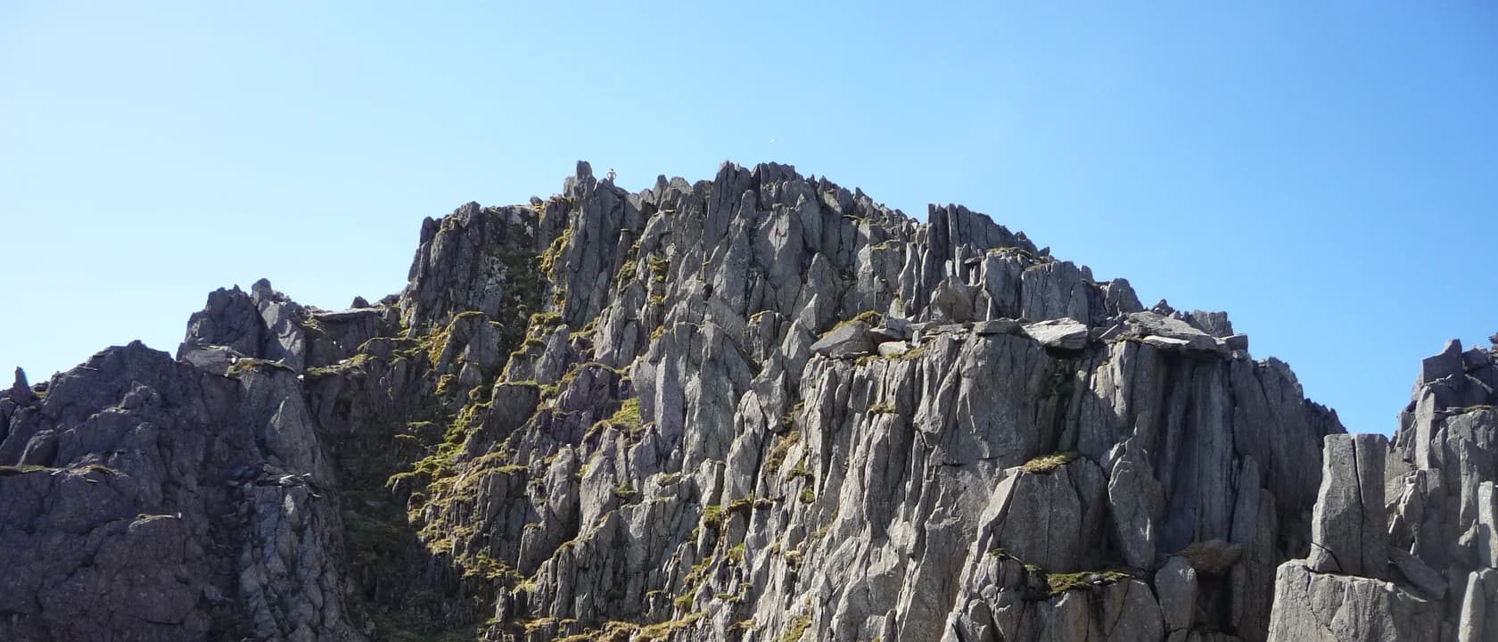
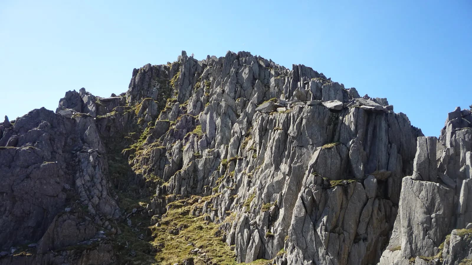
The mountains of Eryri are the eroded remains of ancient volcanoes, and what that produces underfoot is rhyolite and dolerite that fractures into blocks. The practical consequence is that the rock is exceptionally rough — grippy in a way limestone and slate are not — and that it forms natural steps, cracks and ledges. That combination is why scrambling here feels natural rather than technical: the holds are where you would put your hands anyway.
The ridges have quite different characters. The Glyderau are a jumble of shattered rock towers and boulder fields that look like nothing else in Britain and are strenuous rather than exposed. The Carneddau are broader, grassier, higher and much quieter, and the scrambling there is less continuous. The ground around Yr Wyddfa itself carries the most people by a very large margin and includes both the easiest ways up a mountain in Britain and some of the least forgiving.
The thing that catches people is that the rock is far less reliable than it feels. Volcanic ground weathers into loose blocks that sit convincingly and are not attached to anything, and after rain the smooth sections become genuinely slippery in a way rough rock does not warn you about. Neither is visible from below.
It is also, in Welsh weather, frequently in cloud. Ridges that are obvious in sunshine become route-finding problems in mist, and route-finding is where scrambling difficulty actually lives — not in the moves.
Much of the high ground is mapped access land under the ordinary England-and-Wales framework, so there is a right to walk away from paths on foot, and the valleys are crossed by public rights of way. The right is to walk. It does not extend to camping, and it can be restricted temporarily by the landowner or the authority.
The behaviour expected alongside it is set out in the Countryside Code, published jointly by Natural England and Natural Resources Wales. Two of its provisions bite harder here than in most places. Sheep are unfenced across nearly all of this ground, so a dog under close control is not a formality. And the honeypot valleys — Ogwen, Llanberis, Pen y Pass — have parking that fills before breakfast at weekends and verges increasingly signed against it, which is a practical access problem as much as an etiquette one.
Ownership is mixed between the National Trust, Natural Resources Wales, the National Park Authority and private farms, and the practical rules about parking, dogs and camping are therefore local rather than uniform. The body whose sign you are standing in front of is the body whose rules apply.
The park is served by rail on its edges — the North Wales Coast line to Bangor and Llandudno Junction, and the Conwy Valley line inland to Betws-y-Coed — with bus services running into the main valleys from there. The Sherpa network of buses between the trailheads around Yr Wyddfa is the single most useful thing to know about arriving here, because it removes the parking problem entirely and makes a linear day possible.
The National Park Authority publishes visitor information bilingually and is where anything current lives: parking, closures, path repairs, grazing and events. Tourist information and the outdoor shops in Llanberis and Capel Curig are the staffed help on the ground, and both are used to being asked.
The Met Office mountain forecast for Snowdonia is the forecast to read, and it is not the forecast for the coast twenty minutes away. Weather here changes faster and more locally than most visitors expect.
It names no scramble, publishes no grade and gives no difficulty rating. That refusal is more consequential on this page than on any other in the catalogue, so it is worth stating why. Scrambling grades describe a route in dry conditions with good visibility; the same ground wet, in cloud, or with a party that is slower than expected is a different proposition entirely, and the number does not move. A grade published here would be read as an assurance, and this catalogue has no basis on which to give one.
It carries no distances, no ascent figures and no timings for the same reason it carries none anywhere: there is no authoritative, lawfully reusable source for them, and inventing them would produce numbers indistinguishable from measured ones.
Nothing here says that any ground is currently safe, open, passable, or suitable for you. Scrambling has a particular failure mode that is worth naming plainly: the difficulty is continuous rather than stepped, so it is entirely possible to keep going and arrive somewhere you cannot easily reverse. That is a judgement made on the ground by the person there, and it cannot be made in advance by a page.
What this page is for is deciding whether this is the kind of ground you want to be on. For a route, use a current guidebook and current conditions; for instruction, use a qualified instructor.
Who owns the current picture
Anything that changes — closures, conditions, parking, grazing — lives with these, not here.
- Eryri National Park Authority
Visitor information, access notices, parking and anything current about the park
- Natural Resources Wales
The land it manages directly, including forestry sites and their access
- The Countryside Code
What is expected of you on access land and rights of way
- Met Office mountain forecast
The forecast for the tops, which is not the forecast for the coast
Worth reading first
From the rest of the catalogue, rather than written again here.
Safety · Fell running
“what goes wrong in fell running”
When it goes wrong on the fells
The incidents in fell running are a short and predictable list, and almost all of them are decisions made an hour earlier rather than accidents.
7 min read
Technique · Orienteering
“how do I read an orienteering map”
Reading an orienteering map
The colour system, control descriptions, and the four techniques — orienting, thumbing, attack points, aiming off — that make navigation work.
3 min read
Calculator · Hiking
“How long will this route take me — not an average walker, me?”
Hiking time estimator
A Naismith-style estimate in which both constants are your inputs rather than a Victorian assumption, so it can be calibrated against walks you have actually done.
Gives you Estimated total time, Moving time, Time attributable to ascent
Other things the same ground is good for
Subjects this catalogue covers that people do on the same hills.
Hiking
SportHobbyWalking longer distances over rougher ground — the cheapest way into the outdoors, and the one whose risks are most underestimated.
£100–£300 to startOutdoorsModerate effort
Indoor climbing
SportRoped climbing on an artificial wall — the route into the sport for almost everybody who now does it outdoors.
£100–£300 to startIndoorsDemanding
Trail running
SportOff-road running on unpredictable ground — what actually changes from the road, how the sport divides by surface, and where the boundary with fell running sits.
£100–£300 to startOutdoorsVery demanding
Wild camping
SportHobbySleeping out in open country away from any campsite — legally straightforward in Scotland, considerably less so almost everywhere else in Britain.
£300–£1,000 to startOutdoorsDemanding
- Eryri National Park — Eryri National Park Authority
- The Countryside Code — Natural England and Natural Resources Wales
- What is scrambling? — British Mountaineering Council