Hiking · Mid and south Wales
Bannau Brycheiniog
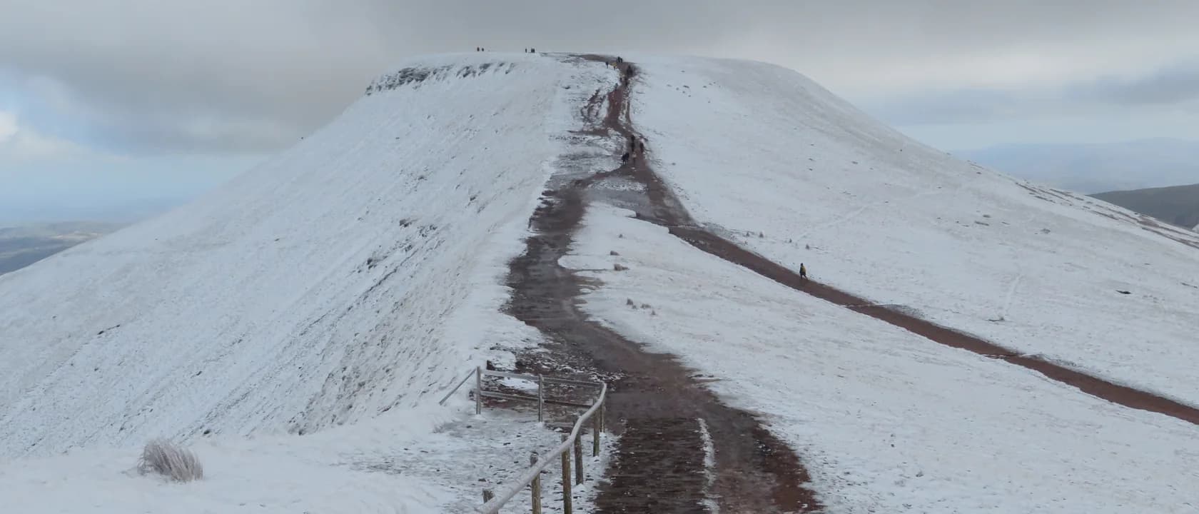
This is walking country of a particular kind: broad whaleback ridges of old red sandstone, cropped short by sheep, with abrupt escarpments falling away on one side and mile after mile of rolling upland on the other. It is unusually accessible for hill country — reachable by train and bus, and close enough to Cardiff, Swansea and Bristol to be a day out rather than a trip — and that accessibility is exactly why it catches people out. The ground is open and the navigation is not.
Also known as Brecon Beacons, Bannau Brycheiniog National Park.
The characteristic shape here is an escarpment: a long ridge that rises gently from the south and then stops, dropping away northward in a steep face. Walking one is often easy going underfoot and dramatic to look at, which is a rare and pleasant combination — and it means the interesting edge is usually the side with the drop, in cloud, with nothing between you and it.
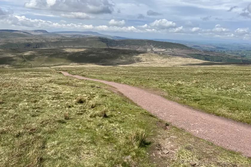
Above the valleys the vegetation is short grass, bilberry and peat rather than heather or scree, so the walking is rarely technical and almost never involves using your hands. What it does involve is distance and exposure. The tops are treeless, the wind is unobstructed, and there is very little shelter between one valley and the next.
It is not a wilderness and does not pretend to be. Farms, reservoirs, forestry, quarries and a great many other people are part of the landscape, and the paths on the popular hills are worn to bare stone. The quiet is a few miles further west, on the moorland between the peaks, and finding it is most of what regulars are doing.
Much of the high ground is mapped access land, where the ordinary England-and-Wales right to walk away from paths applies, and the rest is crossed by public rights of way. That is a stronger position than most of Britain and a weaker one than Scotland: the right is to walk, on foot, and it does not extend to camping, cycling or driving, and it can be restricted temporarily by the landowner or by the authority.
The behaviour that goes with it is set out in the Countryside Code, which is published jointly by Natural England and Natural Resources Wales and covers gates, dogs, fires and leaving no trace. Two of its provisions matter more here than in most places. Sheep are everywhere and largely unfenced, so a dog under close control is not a formality. And fire is a genuine hazard on dry peat and grass, which is why open fires and disposable barbecues are the thing land managers ask about first.
Land ownership is mixed — the National Trust, Natural Resources Wales, the National Park Authority and a great many private farms — and the practical consequence is that rules about parking, camping and dogs are local rather than uniform. The body that owns the ground you are standing on is the body whose sign you should read.
The park is reachable without a car, which is unusual for British hill country and is the main practical reason to know about it. The National Park Authority names the approaches: hourly direct trains to Abergavenny on the Cardiff–Manchester line, half-hourly trains to Merthyr Tydfil from Cardiff and Pontypridd, and Llandovery on the Heart of Wales line. Buses include the T4 from Cardiff to Newtown via Brecon, the T6 from Swansea to Brecon, and the X55 Cymru Clipper. Traveline Cymru holds the timetables.
The car parks for the popular hills fill early at weekends and in school holidays, and the roadside verges around them are increasingly signed against parking. Arriving by bus is often genuinely easier than arriving by car, and it also removes the problem of finishing a linear walk somewhere other than your vehicle.
Tourist information centres and the National Park Authority’s own visitor pages are where anything current lives — closures, events, parking changes, grazing and burning notices. This page does not reproduce any of it, because a static page reproducing live information is a page that was true once.
It carries no routes, no distances and no ascent figures. That is a deliberate refusal rather than an omission: HobbyHQ has no authoritative, lawfully reusable source for them, and numbers we worked out ourselves would look exactly like numbers somebody had walked. The failure mode is not an embarrassing correction — it is somebody on a hill in poor weather who planned around a figure this site invented.
It also makes no statement about conditions. Nothing here says that anywhere is currently safe, open, passable, or suitable for you on the day you are reading it. The weather on these tops is not the weather in the valley, cloud sits on the summits for much of the year, and the escarpment edges that make the walking beautiful are the reason navigation errors here have consequences. Winter adds snow and ice to ground that is otherwise unremarkable, and the same walk is a different proposition in February.
What it is for is deciding whether this is the kind of place you want to walk, and knowing what you would be walking into. For everything that changes, go to the bodies below.
Who owns the current picture
Anything that changes — closures, conditions, parking, grazing — lives with these, not here.
- Bannau Brycheiniog National Park Authority
Visitor information, access notices, events and anything current about the park
- Natural Resources Wales
The land it manages directly, including forestry and reservoir sites
- The Countryside Code
What is expected of you on access land and rights of way
- Met Office mountain forecast
The forecast for the tops, which is not the forecast for the valley
Worth reading first
From the rest of the catalogue, rather than written again here.
Safety · Fell running
“what goes wrong in fell running”
When it goes wrong on the fells
The incidents in fell running are a short and predictable list, and almost all of them are decisions made an hour earlier rather than accidents.
7 min read
Technique · Orienteering
“how do I read an orienteering map”
Reading an orienteering map
The colour system, control descriptions, and the four techniques — orienting, thumbing, attack points, aiming off — that make navigation work.
3 min read
Calculator · Hiking
“How long will this route take me — not an average walker, me?”
Hiking time estimator
A Naismith-style estimate in which both constants are your inputs rather than a Victorian assumption, so it can be calibrated against walks you have actually done.
Gives you Estimated total time, Moving time, Time attributable to ascent
Calculator · Fastpacking
“What is my base weight, and which three things are actually making it heavy?”
Base weight calculator
Adds a kit list up the way the sport defines the terms — base weight excluding consumables, pack weight including them, worn weight separate — and names the heaviest items.
Gives you Base weight, Pack weight, Total carried and more
Other things the same ground is good for
Subjects this catalogue covers that people do on the same hills.
Trail running
SportOff-road running on unpredictable ground — what actually changes from the road, how the sport divides by surface, and where the boundary with fell running sits.
£100–£300 to startOutdoorsVery demanding
Wild camping
SportHobbySleeping out in open country away from any campsite — legally straightforward in Scotland, considerably less so almost everywhere else in Britain.
£300–£1,000 to startOutdoorsDemanding
Fell running
SportRacing up and down open hillside on unmarked routes — a navigation sport with running attached, where GPS is banned outright.
£100–£300 to startOutdoorsVery demanding
Scrambling
SportAscending steep ground where hands are needed but ropes usually are not — the middle ground between hillwalking and climbing.
£100–£300 to startOutdoorsDemanding
- Getting here — Bannau Brycheiniog National Park — Bannau Brycheiniog National Park Authority
- The Countryside Code — Natural England and Natural Resources Wales